
Categories: Canada, Denmark, Faroe Islands, Greenland, Iceland, Maps, Norway, Sweden, United Kingdom
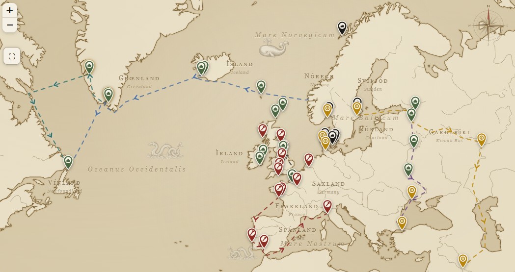
An interactive map of several Viking/Norse sites across the North Atlantic.
This is an interactive, historically grounded map of the Viking Age (roughly 793–1066 AD). Every one of its 45 markers is a real, documented place (a raid site, trading town, settlement or royal seat) with its story, dates and a citation to a museum or academic source. Six guided journeys let you sail the era's greatest voyages stop by stop, from Leif Erikson's crossing to Vinland to the river road that ended at the walls of Constantinople.
